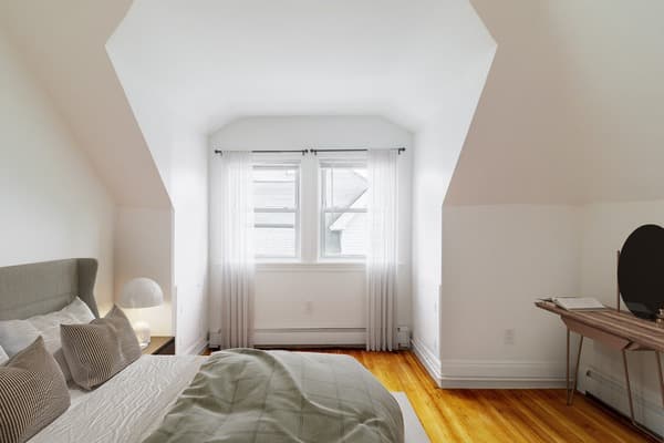
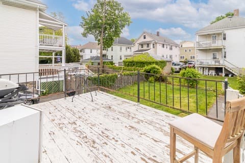
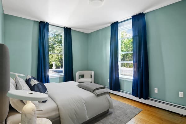
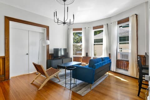
Furnished and unfurnished short-term rentals in Boston, MA: Browse and book your perfect room or apartment today
Secure your perfect rental in the best neighborhoods, with flexible monthly leases and temporary housing options. Apply now and move in tomorrow!


Want to book faster?
Get Pre-Approved and Book Instantly
Skip the line and get approved to instantly
book a home with June.
June Homes uses iDenfy and Plaid to provide a streamlined, quick, and secure way to verify your identity and income to calculate a range of homes you can instantly book.


June Homes: Your Solution for Finding Boston Short-Term Rentals
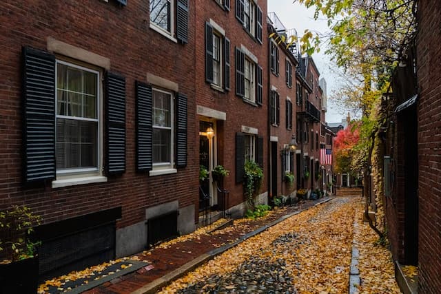
Boston is a city of contrasts—historic charm meets modern convenience. Whether you’re strolling through the cobblestone streets of Beacon Hill, grabbing coffee in Back Bay, or commuting from Allston via the MBTA Green Line, Boston offers a dynamic lifestyle for renters. With top-tier universities, thriving tech and healthcare industries, and walkable neighborhoods, it’s no wonder short-term rentals in Boston are in high demand.
What’s the rental duration range for Boston properties with June Homes?
June Homes offers flexible lease options in Boston to match your needs—rent a furnished room or apartment for as little as 1 month, or stay for 3, 6, or 12 months. Whether you’re interning at Mass General Hospital, studying at Northeastern, or relocating temporarily, our short-term rental options make it easy to find a place fast.
What are the cheapest neighborhoods for Boston rentals?
Looking for affordable apartments or rooms for rent in Boston? While the city is known for its high rent, several neighborhoods offer more budget-friendly options—especially for short-term leases:
- Dorchester – Boston’s largest neighborhood with lower rental prices and Red Line access.
- Allston – Student-friendly and full of affordable room rentals near Boston University.
- Roxbury – Up-and-coming, diverse, and more affordable than central neighborhoods.
- Brighton – Quieter than Allston but still cost-effective with easy access to the Green Line.
- East Boston – Great skyline views, airport access, and lower prices via the Blue Line.
- Hyde Park: Boston’s southernmost neighborhood, with suburban vibes and affordable rents.
For the best value, consider renting a furnished room in a shared apartment, ideal for students, interns, and short-term stays.
Can I get around the ‘3 times the rent’ rule in NYC?
Getting around the ‘3 times the rent ‘ rule in NYC is not as tricky as it sounds. You can find a guarantor, pay a larger security deposit, or pay several months’ rent upfront. OR, contact June Homes for more flexible renting solutions.
What are the safest neighborhoods to rent a room or apartment in Boston?
Safety is a top priority when choosing a short-term rental in Boston. These neighborhoods are known for lower crime rates and a strong sense of community:
-
Beacon Hill – Historic, walkable, and among the safest areas in Boston.
-
Back Bay – Upscale, central, and secure, with great transit access.
-
West Roxbury – Quiet, residential, and ideal for peaceful living.
-
Jamaica Plain – Diverse, laid-back, and community-focused with Orange Line access.
-
South Boston (Southie) – Revitalized and increasingly popular with professionals.
-
Cambridge (Harvard/Porter Square) – Safe, well-connected, and great for students and young professionals.
How to find apartments in Boston for rent?
Start with your priorities: Do you need a furnished apartment near downtown or a short-term rental near MIT or Boston University? Use trusted platforms like June Homes to filter listings by lease length, price, and amenities. Also check student housing boards, community forums, and explore areas connected to the MBTA for an easier commute.
How to find student accommodation in Boston?
For students at Harvard, Boston College, BU, or Berklee, look near public transit like the Red Line (Harvard Square, Central Square) or Green Line (Fenway, Kenmore). June Homes offers private rooms in shared apartments, ideal for short stays or semester-based housing. University housing boards and student Facebook groups are also great resources. Many institutions have their own housing boards, and there are also websites dedicated to student housing in Boston.
Where to live in Boston?
It depends on your lifestyle. Want charm and history? Check out Beacon Hill or the North End. Prefer a younger vibe? Allston and Somerville are popular with students and creatives. Need access to hospitals or research centers? Longwood Medical Area or Fenway might be ideal. Not sure where to settle? Try a furnished short-term rental first.
Do you need a car in Boston?
Not really. Boston is one of the most walkable cities in the U.S. and the MBTA (aka “The T”) makes it easy to get around. Many renters in central neighborhoods like Back Bay, Fenway, or Cambridge rely entirely on public transit. Parking can be expensive—so unless you’re commuting from further suburbs, a car isn’t necessary.
Where do international students live in Boston?
International students often choose short-term furnished rentals near campuses or transit hubs. Popular areas include Allston (near BU), Cambridge (Harvard and MIT), and Mission Hill (Northeastern, MCPHS). Many start with flexible leases while they get settled—especially if they’re unsure how long they’ll stay.
Is Boston a good place for young professionals?
Absolutely. With top employers in tech, biotech, and healthcare, plus access to coworking spaces, cafes, and public transit, Boston is ideal for young professionals. Areas like South End, Jamaica Plain, and Somerville offer the right balance of city life and community feel.
When should I start looking for apartments in Boston?
If you’re moving for school or work, start your search 1–2 months in advance—especially before fall (August–September), Boston’s busiest rental season. Short-term leases can go fast, so early planning ensures better choices.
How many people live with roommates in Boston?
Roughly 30–40% of renters in Boston share housing. With high rental prices and a large student population, co-living is both common and practical.
Looking for roommates in Boston?
You can find roommates through platforms like June Homes, which offers private rooms in shared homes with vetted residents and clear lease terms.
Can I rent for my travel nursing assignment in Boston?
Yes! Ourtravel nurse housing options in Boston are ideal for short-term healthcare professionals, offering close proximity to major hospitals like Mass General and Brigham and Women’s.
Our blog’s top picks to help you find the perfect short-term rental in Boston
- How Much Rent Can I Afford? Salary-Based Rent Calculator
- Hourly Pay to Rent Calculator
- What Are The Safest Neighborhoods in Boston, MA?
- The 24 Pros and Cons of Living in Boston, Massachusetts
- Best Boston Neighborhoods to Rent and Live In
- Best Boston Neighborhoods For Young Professionals
- 3x Rent Calculator: Determining Affordable Rent
Most asked questions before renting with June Homes in Boston:
Can I move in early or late?
Early move-in depends on your scheduled date, the current tenant’s move-out, and cleaning time. If possible, you can move in early for a $50 fee. After your move-in date, you can arrive anytime. Please contact our team for any specific questions about your stay.
Can I cancel my lease?
Of course, you can! Given it’s a legally binding document, terms and conditions apply, so please reach out to our team to inform you of the fee associated with terminating your lease early. You can also find more information here if you have already moved in or here if your move-in date hasn’t come yet!
Can the lease be extended?
The short answer is yes, depending on availability! Don’t worry though, you will always have priority over any incoming tenant and we will reach out to you to confirm whether you intend to further extend your stay before we sell your room. In the event we do not hear back and the room gets sold, we will be there to help you find an alternative option!
How flexible are rental durations in Boston properties with June Homes?
June Homes offers flexible leases, including 1-month, 3-month, 6-month, and 12-month options—ideal for short stays, work assignments, or longer-term housing—perfect for students, professionals, or those seekingtravel nurse housing.
What’s the minimum lease duration? Is the unit available for a shorter or longer lease term?
All units are available for any stay from 1-18 months and you can always extend further if needed! The minimum lease duration in days is between 30 & 32 days, depending on the city. Feel free to reach out to our team so they can answer any questions specific to your stay!
Can I book an apartment instantly after applying?
Yes—once your application is approved, you can book instantly! Please keep in mind that we operate on a first-come, first-serve basis and due to demand, your unit might be booked while we review your application. The rule of thumb is to submit everything as fast as possible and we will help you complete your reservation in no time! And don’t worry, if you miss out on your initial room, we will help you find an equally awesome alternative.
Are virtual tours available? What about in-person tours?
Yes! You can view listings via virtual tours on our site or schedule a guided tour with our agents (up to 2 properties!). In-person tours are available after application approval and allow access to shared spaces and vacant rooms.
Are pets allowed, and are there any breed or size restrictions?
Yes, pets are allowed in designated pet-friendly units, with a limit of one pet per unit. There are no breed or size restrictions, but we follow all applicable state laws. ESAs and service animals are welcome in all units. Contact our team to confirm pet availability for your unit.
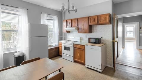
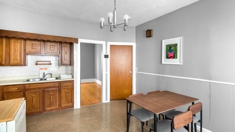
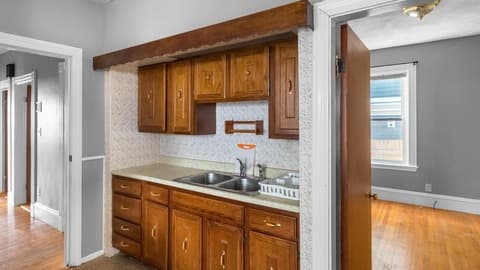
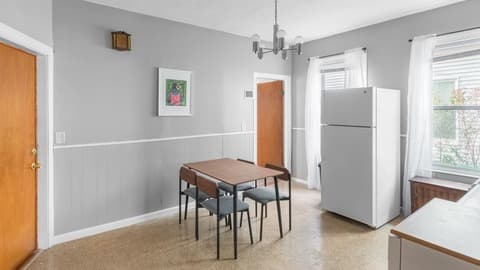
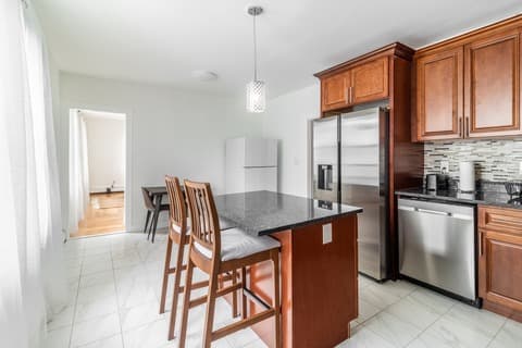
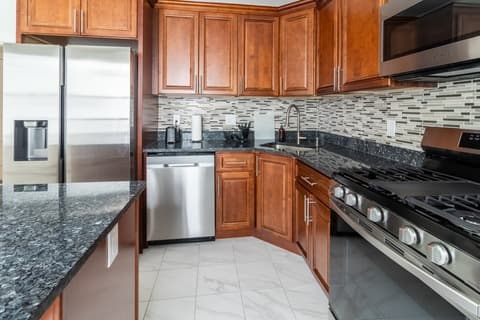
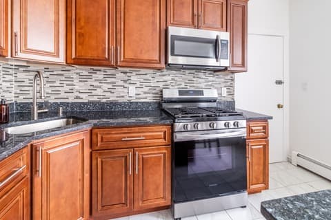
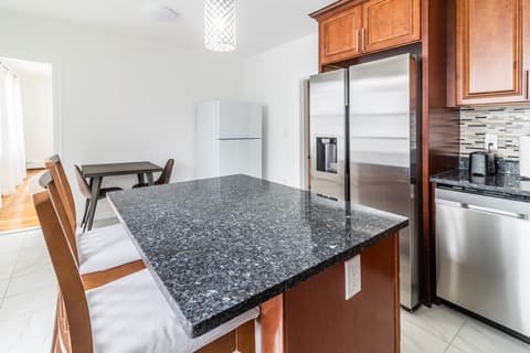
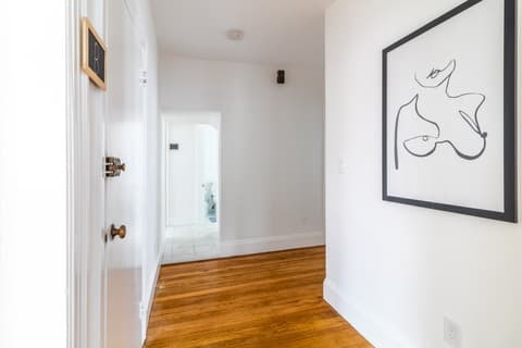
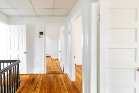
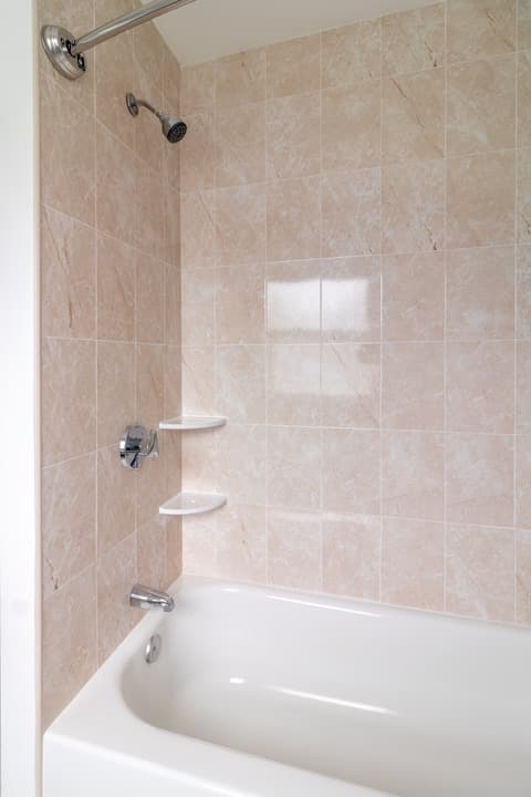
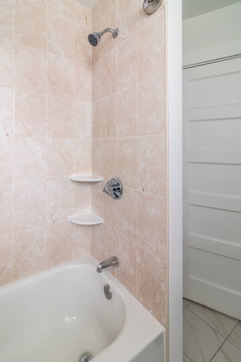
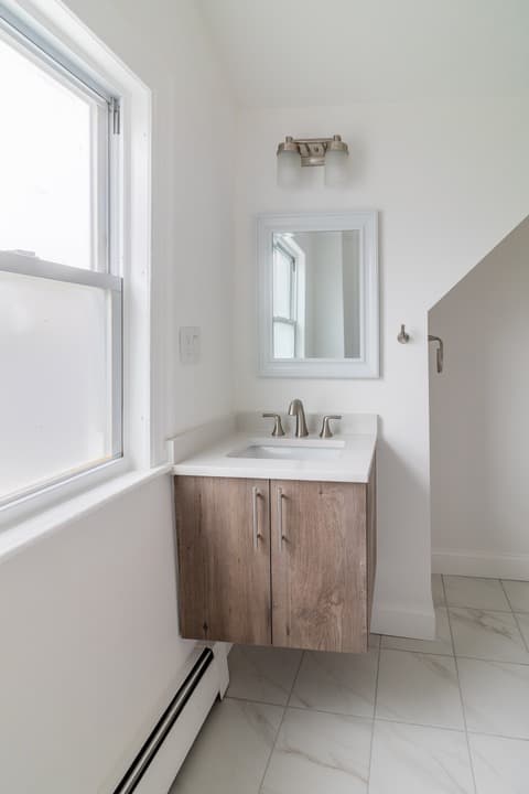
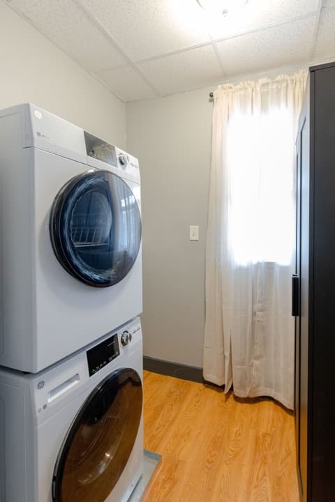
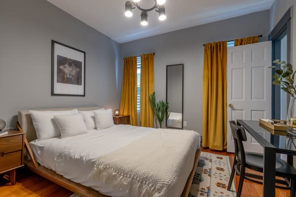
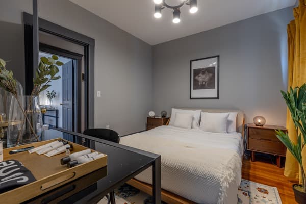
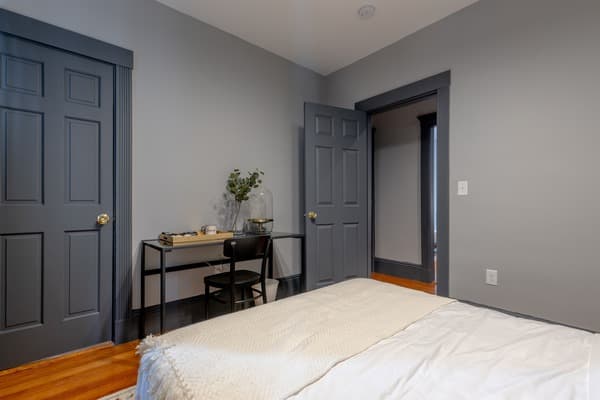
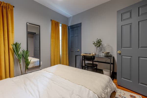
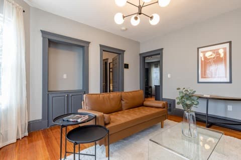
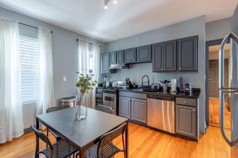
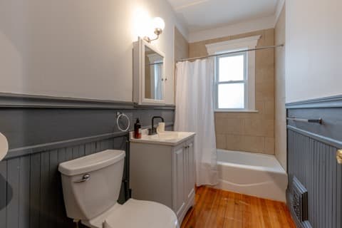
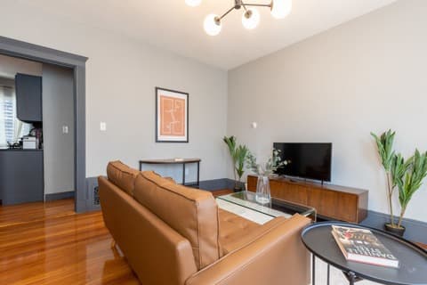
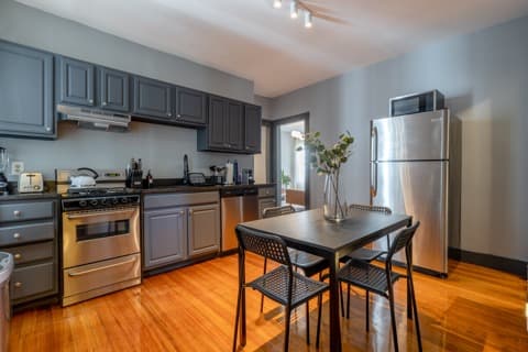
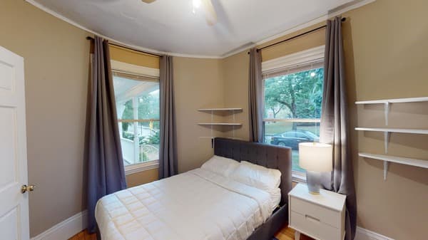
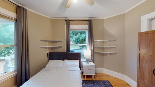
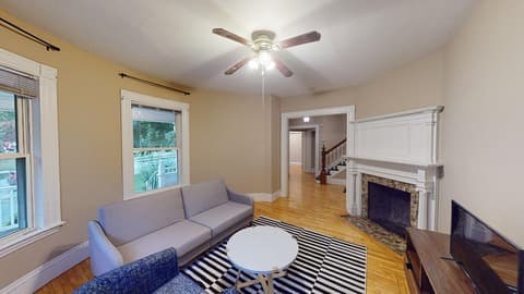
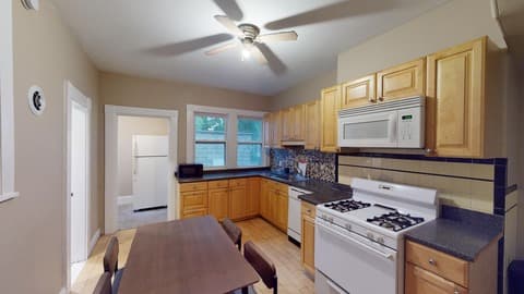
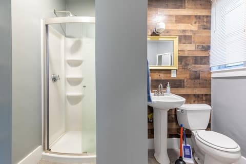
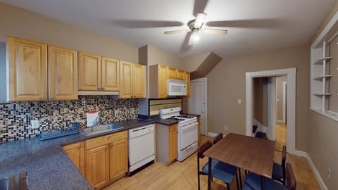
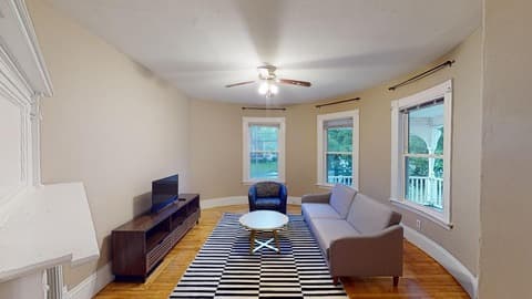
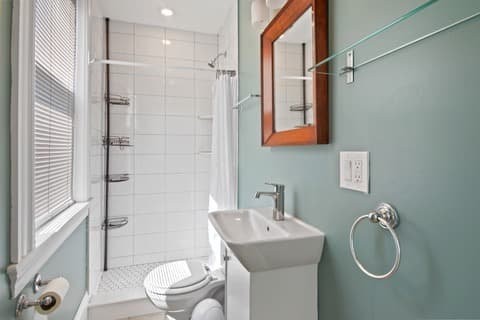
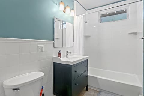
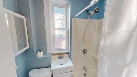
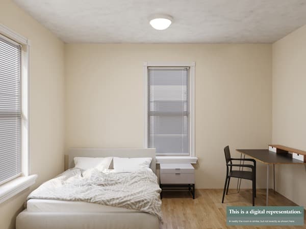
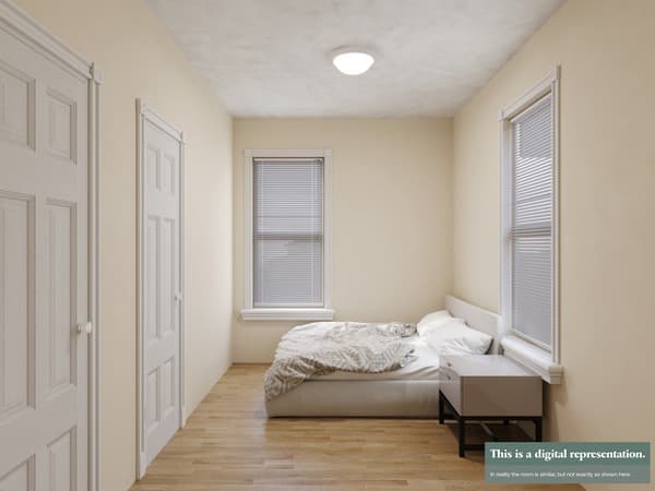
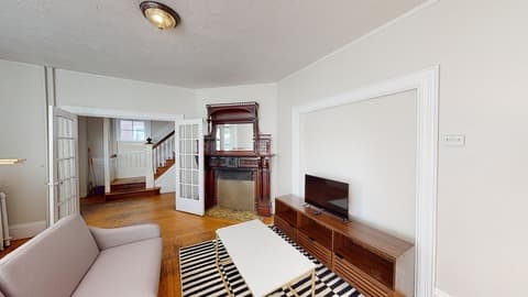
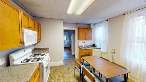
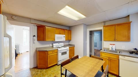
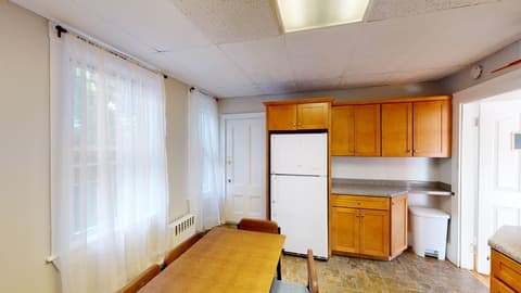
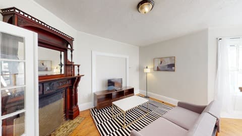
Are the apartments furnished?
All the shared spaces within our shared homes come furnished - you always get to choose though the furnishing status of your own room! If you are interested in a studio or a 1-bed apartment, you get to choose the furnishing status of the entire space.
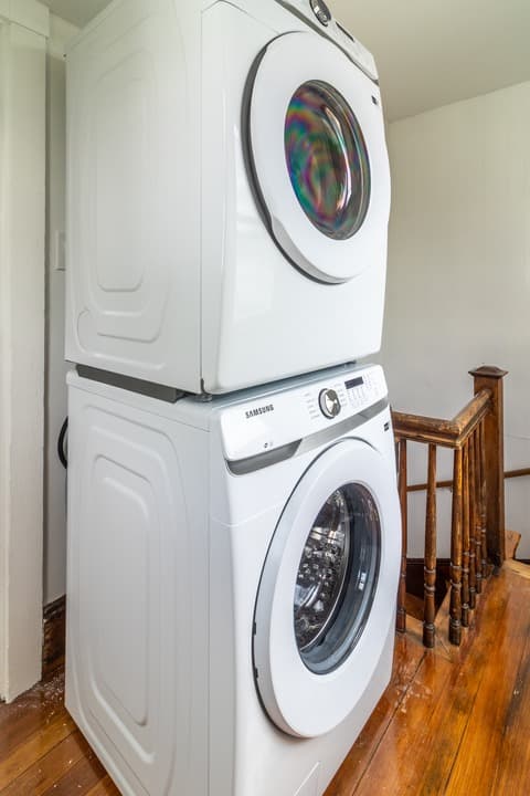
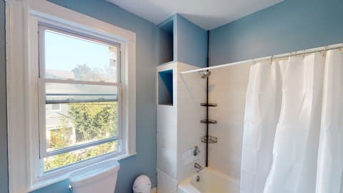
Is there A/C, heating, elevator, in-unit laundry, or any other amenities?
Some properties do while others don’t. The best way to find out about a specific home is to either read the home description of the unit you are interested in, where you will find all necessary information, or reach out to our team to help you with any specific requests!
Is there designated parking available?
Depending on the city, there are different parking options available. Some of our units do have available parking spots to rent along with your room/unit, which also rent on a first-come, first-serve basis.
Can subtenants install additional amenities like AC units?
Should you wish to have an A/C unit installed - we’ve got you covered! For an additional fee, we can install an AC unit for you! For anything else, please reach out to our team so they can inform you accordingly.
Can I rent a private room or an entire unit?
Yes—if the unit is fully available, you can rent the whole apartment. Otherwise, you can choose just one room for rent, or we’ll help you find another option that suits your group.
Are there options for shared accommodation in Boston?
Yes—we offer shared apartments with private rooms in cities like New York, Boston, Washington DC, Los Angeles and more. All homes have common spaces like kitchens and living areas—ideal forstudent housing.
Can I book multiple rooms or the entire unit for a group?
Absolutely. Depending on availability, you can book several rooms or even the entire unit for shared living or group housing.
What is the total cost for a specific stay?
To make sure our pricing always remains competitive and well within market standards, we have adopted a dynamic pricing model. Once you have concluded on your move-in and move-out dates, you will know the total cost of your stay. If needed, don’t hesitate to reach out to our team to help you find the best prices and total costs! Cool sidenote: we always charge everything on a prorated basis!
Are there discounts for longer leases or upfront payments?
We do run promos from time to time so keep an eye out for the golden email! You can also reach out to our Sales team to ask them for any ongoing promos.
Are utilities included in the rent?
No, utilities are not included in the rent and are charged separately, based on each unit’s consumption.
Are there any hidden fees or charges?
There are no additional fees or charges other than what we have already communicated to you during your application! You will know exactly what to expect on a monthly basis before you sign an agreement with us, with the exception of the bills which are based on consumption.
Do I need a credit score or guarantor? Is there a security deposit?
Yes, a credit score and proof of income are required for U.S. applicants. If you don’t meet the minimum credit requirements, a guarantor may be needed. A one-month refundable security deposit is also required and will be returned within 14 days of move-out, following a successful inspection to ensure there are no damages.
Your questions, answered.
Whether you’re searching for short term rentals, furnished apartments, temporary housing, or rooms for rent, June Homes makes it easy. Here’s a list of the most frequently asked questions to help you understand how it works.
Want to hear from our tenants? Check out our June Homes reviews to learn more about their experiences. If you’re a landlord, explore our solutions for property owners!
What is the average rent for a 1-bedroom apartment in Boston, MA?
What is the average rent for a 2-bedroom apartment in Boston, MA?
What is the average rent for a room in Boston, MA?
Neighborhoods
- Allston
- Beacon Hill
- Brighton
- Brookline
- Central Square (Cambridge)
- Dorchester Center
- Dorchester - Fields Corner West
- Downtown
- East Boston
- East Cambridge
- Fenway
- Fort Hill
- Harvard Square (Cambridge)
- Hyde Square
- Inman Square
- Jamaica Plain
- JFK/UMass
- Medford
- Mission Hill
- Newton Corner
- North Cambridge
- North End
- Polish Triangle
- Roxbury
- Savin Hill
- Somerville
- South Boston
- South End
- Wellington-Harrington (Cambridge)
Apartments and Rooms for Rent
Rent Nearby Boston Universities
- Harvard University
- Massachusetts Institute of Technology (MIT)
- Boston University
- Northeastern University
- Tufts University
- Boston College
- Berklee College of Music
- Brandeis University
- Bentley University
- Emerson College
- Simmons University
- Suffolk University
- Lesley University
- University of Massachusetts Boston
- New England Conservatory of Music
- Babson College
- Bunker Hill Community College
- Massachusetts College of Art and Design
- Massachusetts College of Pharmacy and Health Sciences
- Wentworth Institute of Technology
Rent Nearby Boston Hospitals
- Massachusetts General Hospital
- Brigham and Women's Hospital
- Boston Children's Hospital
- Dana-Farber Cancer Institute
- Beth Israel Deaconess Medical Center
- Tufts Medical Center
- Boston Medical Center
- New England Baptist Hospital
- Spaulding Rehabilitation Hospital Boston
- McLean Hospital
- Mount Auburn Hospital
- St. Elizabeth's Medical Center
- Newton-Wellesley Hospital
- Massachusetts Eye and Ear
- Cambridge Health Alliance - Cambridge Hospital
- MelroseWakefield Healthcare
- Arbour Hospital
- Franciscan Children's
- Carney Hospital
- Lemuel Shattuck Hospital